HOME
MAPS
Mapping Applications
Static Maps
DATA
Access & Distribution
RESOURCES
Documentation
FAQ
Contacts
Links
What is GIS?
HELP
Greenville County Maps
User's Guide Online
Greenville County Maps
User's Guide (PDF)
Advanced Internet Mapping
System User's Guide (PDF)
Online Help - Desktop
Online Help - Mobile
GCGIS.org
Home
Maps
Mapping Applications
Static Maps
Data
Access & Distribution
Resources
Documentation
FAQ
Contacts
Links
What is GIS?
Help
Greenville County Maps
User's Guide Online
Greenville County Maps
User's Guide (PDF)
Advanced Internet Mapping
System User's Guide (PDF)
Online Help - Mobile
Static Maps
The following maps are available for download in PDF format.
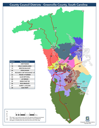
County Council Districts
8.5" x 11"
11" x 17"
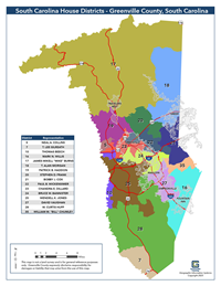
State House Districts
8.5" x 11"
11" x 17"
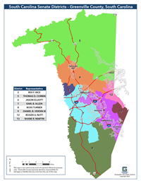
State Senate Districts
8.5" x 11"
11" x 17"
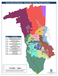
School Board Districts
8.5" x 11"
11" x 17"
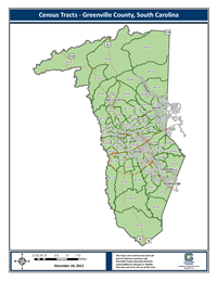
Census Tracts
8.5" x 11"
11" x 17"
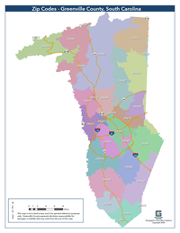
Zip Codes
8.5" x 11"
11" x 17"