Mapping Applications
Greenville County Maps
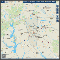
Our newest mapping application featuring an updated interface and modern technology.
- Use on your desktop computer and mobile device
- Query, display, and print maps and descriptive information
- Find addresses, real estate, roads, polling sites, schools, parks, and more
- Create and download mailing labels for real estate parcels
- Export data for GIS, CAD, or spreadsheet software
- Create real estate reports with ownership, values, and history
- View temporal changes using multiple years of photography
Advanced Internet Mapping System
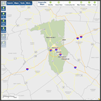
Previous version - still available during the transition period.
- Use on your desktop computer and mobile device
- Query, display, and print maps and descriptive information
- Find addresses, real estate, roads, polling sites, schools, parks, and more
- Create and download mailing labels for real estate parcels
- Export data for GIS, CAD, or spreadsheet software
LexisNexis - Community Crime Map
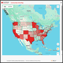

- Interactive map with tools to query, display, and analyze criminal activity
- Search for specific areas of interest
- View crime statistics and trends